Home
The Map
List View


 Flusshinweise
Befahrbarkeit
English Summary
Karte Einbetten
Systemstatus
Kontakt und Team
Datenlieferanten
Overview
Download
Rivermap Japan
The Map
List View
Befahrbarkeit
English Summary
Karte Einbetten
Systemstatus
Kontakt und Team
Datenlieferanten
Overview
Download
Rivermap Japan
![]() "Rivermap Supporter" Group
"Rivermap Supporter" Group
Flusshinweise
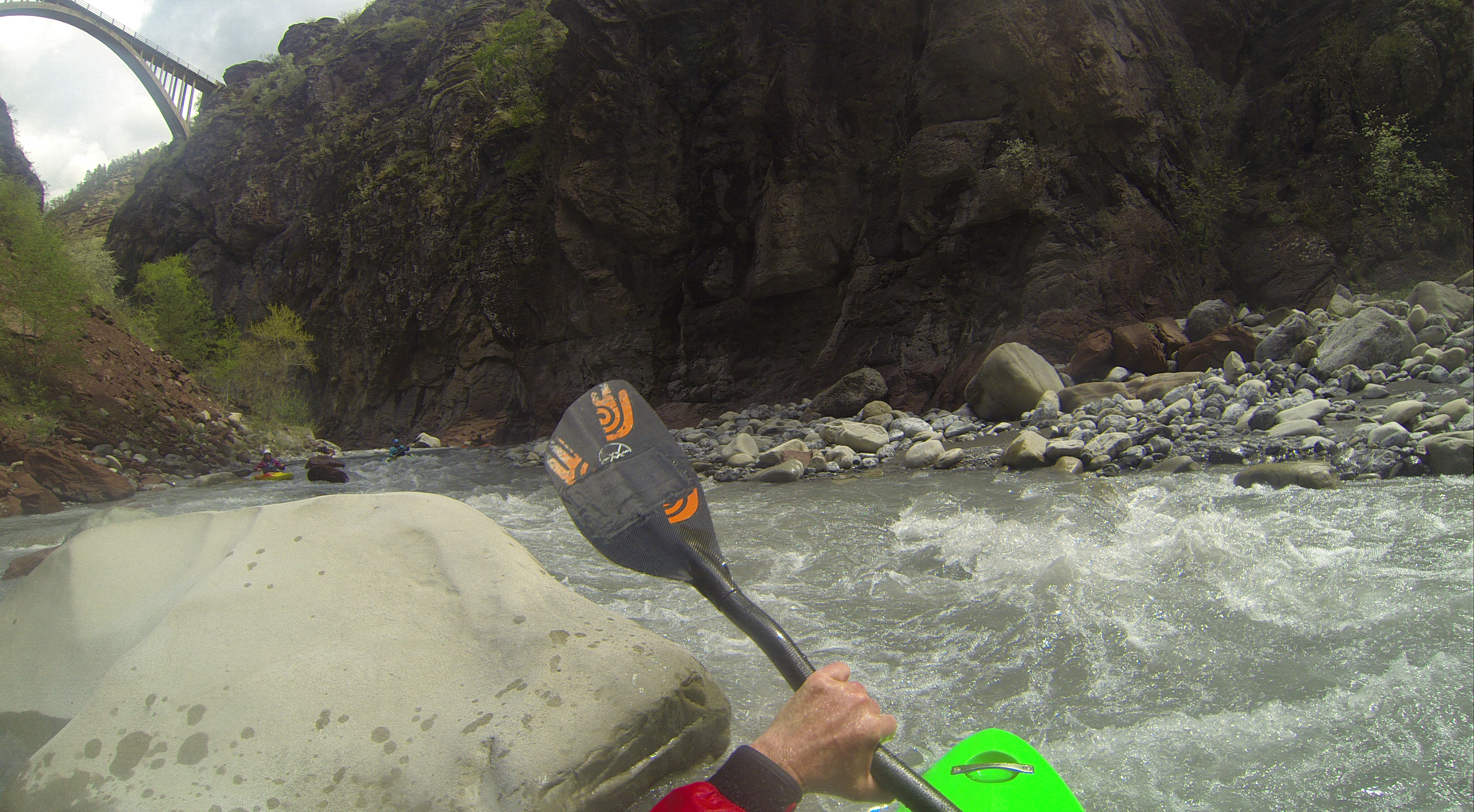
Var: Gorges de Daluis (Guillaumes - Daluis)
III-IV 5.74 km direct
Resultate 1 - 7 von 7
Befahrbarkeit
All clear, was a little low but still runnable. Could take an eddy river right to scout the central rapid in the gorge. Ran it on 28-05-23 at 0.13 m (3 cumecs) as gauged on RiverApp. The Var gauge at Entrevaux was between 23-33 cumecs.

Info
New powerstation just before the gorge and the relation gauge height-cumecs is not correct anymore.
paddled 2022/05/01. Water is diverted in Guillames and led back into the river at a small new powerstation just upstream of pont the Mariée. Description at the station says they take a max of 5 cumecs in Guillaumes.
The official Gauge at Villeneuve d'entraunes read 10 cm which should be approx. 7-9 cumecs. This is not correct anymore! probably due to flood in October 2020. Upstream of thenew powerstation there was approx. 1 cumecs in the river (far below minimum for the stretch from Guillaumes). The station added 1-2 cumecs which was low but runnable for the gorge, the stretch downstream towards Entrevaux was a scrape, killed some boats...
At 10 cm at Villeneuve d'entraunes, put in is at the new power station, there is a parking space just upstream of pont the Mariée where a small gravel road goes down to the power station.
Bewertung NW-MW-HW | 25.3.2016
Pegelangaben überprüfen: Minimal auf 16 setzen.
40 gemaess dem Pegel Entreveaux sicher zu hoch fuer Min.
40 gemaess dem Pegel Entreveaux sicher zu hoch fuer Min.
Befahrbarkeit | 27.07.2012
Der Felssturz ist gesprengt worden, Stand 2012, bei einer Befahrung Juli 2012 kein Problem, aber vorsicht Felsen sehr scharfkantig bei NW. Wir hatten absolutes Niedrigwasser. Geschätzte 5-10 cbm
Fahrverbot
Fahrverbot wegen Felssturz (und möglich weiteren) gegen Ende der Schlucht (stand 11.8.2009)
(siehe http://www.kajaktour.de/var.htm)
(siehe http://www.kajaktour.de/var.htm)
Info
http://www.kajaktour.de/var.htm
http://www.eauxvives.org/fr/rivieres/voir/var
http://www.waterweb.de/w/index.php?title=Var_%28Guillaumes_-_Daluis%29_WW_III
http://www.eauxvives.org/fr/rivieres/voir/var
http://www.waterweb.de/w/index.php?title=Var_%28Guillaumes_-_Daluis%29_WW_III
Bewertung NW-MW-HW
Pegel http://www.rdbrmc.com/hydroreel2/station.php?codestation=679
Pegel geschätzt
NW = 40 m3/s
MW = 60 m3/s
HW = 80 m3/s
Pegel geschätzt
NW = 40 m3/s
MW = 60 m3/s
HW = 80 m3/s
nach oben